NRT operational activities
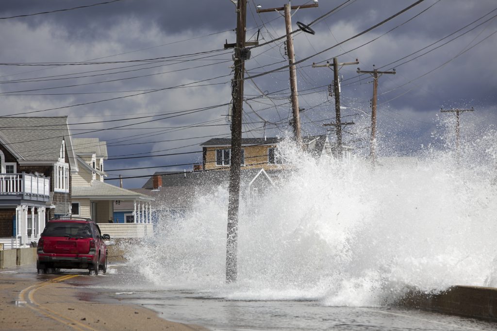
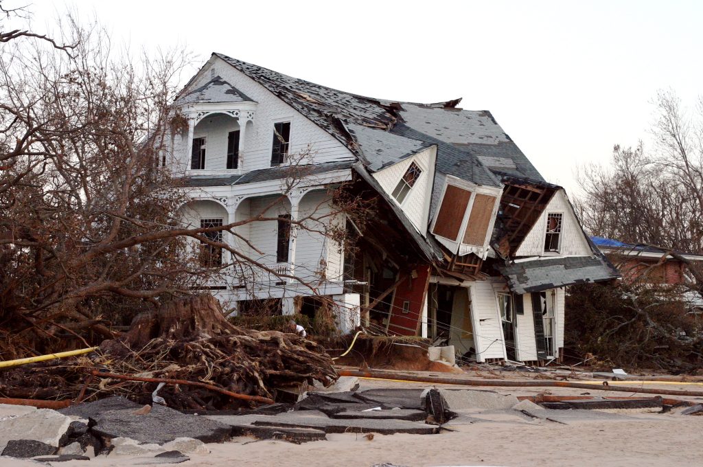
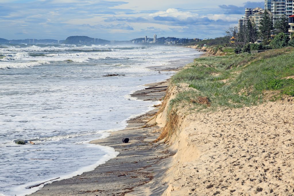
Tropical Cyclones occur in all ocean basins with well-known damages and impacts over a wide range of environmental and societal fields: security, health, economy, … Tropical Cyclones are major hazards killing thousands of people every year with the major cyclones foreseen to increase in strength and occurrence in a warmer climate. They represent around 20% of the damage and casualties caused by natural hazards, all phenomena Included.
The WMO Regional Specialized Meteorological Centres (RSMC) are a coordination programme designed by the World Meteorological Organization (WMO) to distribute responsibilities for the dissemination of meteorological information and the issuing of warnings among national meteorological services. The Tropical Programme is part of WMO’s world weather watch programme and aims to coordinate the activities of national tropical cyclone forecasting services. There are six regional RSMC centres specializing in tropical cyclone monitoring together with six Tropical Cyclone Warning Centres (TCWCs). In addition, the US Joint Typhoon Warning Center (JTWC), a forecasting center of the US Armed Forces, also regularly issues warnings for hurricanes in the North West Pacific, the North and South Indian Ocean and the South West Pacific. Several European countries have overseas territories exposed to tropical cyclones. In particular, Météo-France hosts the Regional Specialized Meteorological Centre (RSMC) of La Réunion. This center, recognized by the World Meteorological Organization (WMO), is in charge of tropical cyclone forecasts on Earth National Meteorological and Hydrological Services of the 15 member states of the South-West Indian Ocean Tropical Cyclone Committee.
Numerical Weather Prediction (NWP) models are now widely used by Tropical Cyclone operational center. They provides real-time deterministic and ensemble based Tropical Cyclone forecast guidance. The cyclogenesis forecasts are expected to improve via “advances in various aspects of numerical weather prediction systems, which includes increased resolution, improved parameterization schemes, and improved use of observations, especially satellite data to improve initial conditions” [IWTC 9th report].
Today, measurements datasets do not allow the full derivation of the cyclone structure and evolution in terms of strength and spatial spread. In particular, few observations at sea surface are available. Existing spaceborne systems and sensors are not systematically designed for extreme events monitoring. Spaceborne L-band radiometers such as SMAP and SMOS are of high interest for determining Tropical Cyclone features complimentary to the classical co-polarized scatterometers. They do not suffer “from signal saturation at high wind speeds and are minimally affected by rain”.
As mentioned in the Tropical Cyclone Analysis and Remote Sensing report of IWTC-9:
“SAR-derived ocean surface wind speed can complement radiometer measurements for a better sampling. However, the high resolution of SAR images makes this sensor unique for inner core analysis, including the estimate of the radius of maximum wind speed or the TC eye diameter and morphology.”
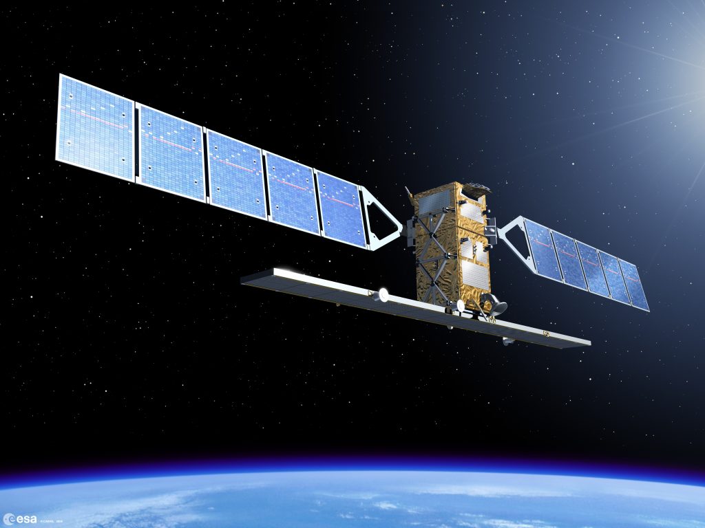
As part of European Union’s Earth Observation Program, namely the Copernicus program, Sentinel–1’s C-band SAR active sensor can provide unprecedented observations of Tropical Cyclone.
Future space concept mission
Sentinel-1 tropical cyclones database is a key aspect to prepare forthcoming spaceborne missions or work on new concepts missions for tropical cyclones observations. Future spaceborne missions such as the next MetOP scatterometer or HARMONY candidate to EE10 will both operate at C-band with co- and cross- polarizations.
The next generation of C-Band Sentinel-1 mission (S-1 NG) is now being conceived to serve more applications and services through increased capabilities including enhanced mapping capability with wider swath while having high resolutions and polarimetry diversity.
L-band SAR missions also have a great potential for Tropical Cyclone monitoring. As a matter of fact, the Copernicus Space Component Expansion programme includes new missions that have been identified by the European Commission (EC) as priorities for implementation in the coming years. ROSE-L, a L-band SAR, is one of them. The additional use of L-band SAR in support to existing C-band SAR will enhance the continuity of TC observations. In particular, we expect that:
- The capability of having co- and cross- polarized channels as C-band SAR will also allow to provide ocean surface wind measurements, with the benefit of increasing the density of observation. This is fundamental to document and improve our understanding of rapid intensification process as well as to better constrain short term forecasting and finally improve the bulletins provided by Tropical Cyclone forecasting centers. The interest of combining different satellite observation to fully describe the life cycle of Tropical Cyclone has already been illustrated with L-band and multi-frequency radiometers (link https://journals.ametsoc.org/doi/full/10.1175/BAMS-D-15-00291.1). They are now used by Tropical Cyclone forecasting centers.
- L-Band SAR will be much less sensitive to the rainfall. This should allow a more accurate description of the Tropical Cyclone wind vortex, without some of the limitations pointed out for C-Band. Specific questions to L-band such as the Faraday rotation contribution will also have to be addressed.
- The potential of having larger swath as this is foreseen for the forthcoming ALOS-4 with swath width of 700 km in ScanSAR mode would represent a huge step forward as it will increase the number of observations at high resolution over Tropical Cyclone eye. Swath size of existing SAR is indeed a limitation for existing C-band SAR.
Towards a better understanding of extreme wind events on major Earth system cycles
Tropical cyclones and all extreme events have a significant impact on the physical and biological processes occurring at the air-sea interface and in the upper ocean. The impact of tropical cyclones on Earth System cycles is to be further understood. CYMS will foster developments for future Tropical Cyclone seasons and help answer fundamental questions on Tropical Cyclone physical processes.